|
|
|
|
|
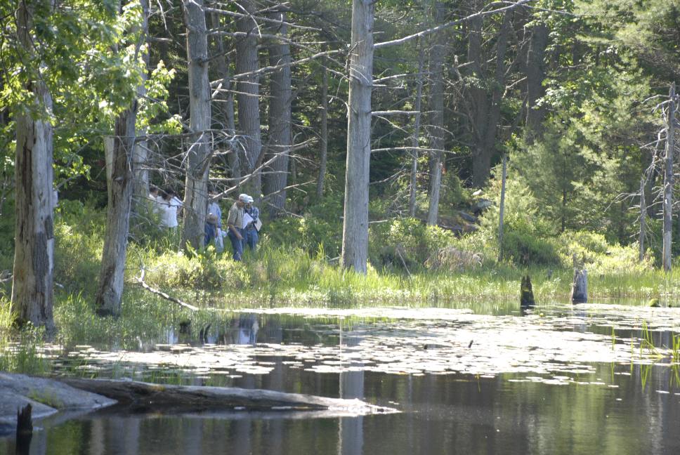
Results and Write-up for August 2nd, 2007 joint MAPSS/MASE Workshop on Natural Resource Identification and Regulation Workshop The first three photos below are from the Great Pond. Note both forested and emergent wetlands bordering the great pond. Where is the normal high water mark? Where do you start measuring for the shoreland zone? Where is the wetland/upland
boundary? What setbacks are required for NRPA, LURC, ACOE, or septic systems? Is there a 4,300 sq. ft. exemption for alteration? The second photo shows PFO5, PEM1, and PSS1 wetland types. 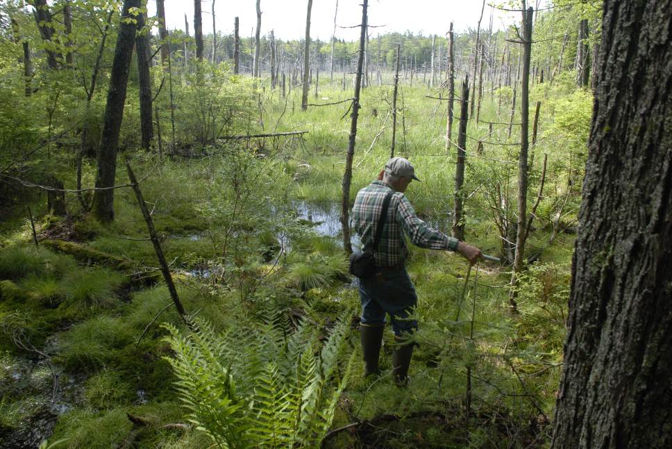
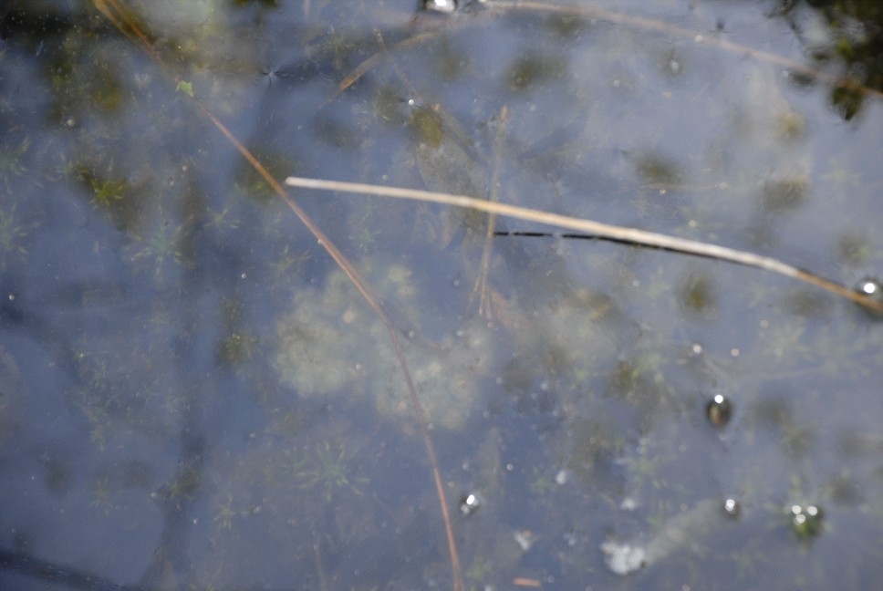
The third photo exemplifies a fringing scrub-shrub wetland subject to seasonal water level fluctuations. 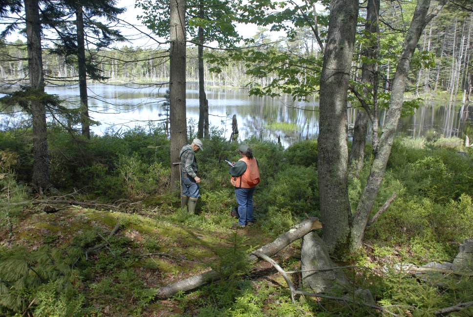
The following 3 photographs depict the stream determination component of the workshop. Photos taken on June 6th, 2007. In the first photo, a scoured bed was not evident. 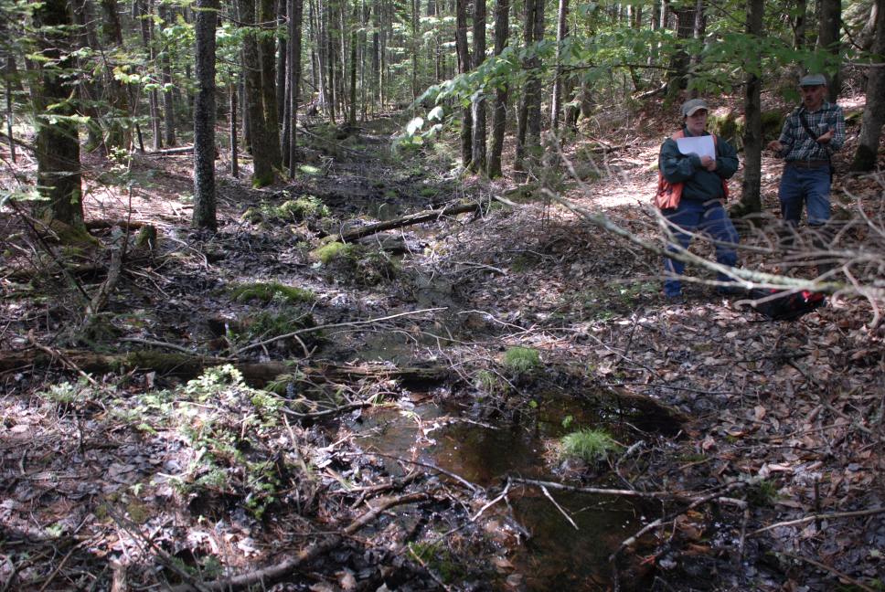
A scoured bed and exposed ledge were present in this drainageway. 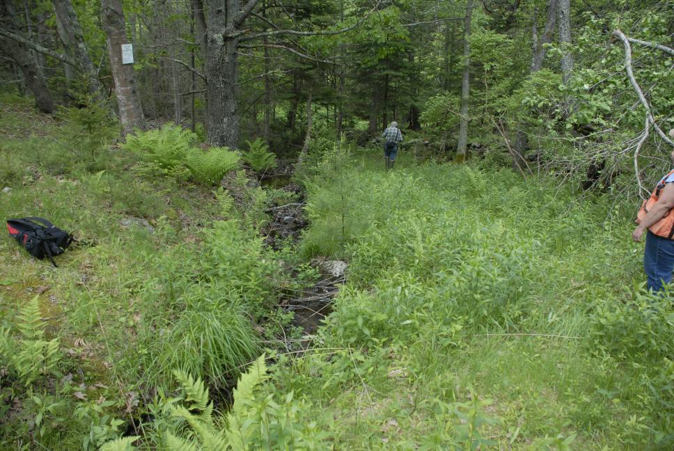
This is a USGS 1:24,000 mapped tributary stream to the Little River. Where is the normal high water mark? Floodplain? Wetland of Special Significance? 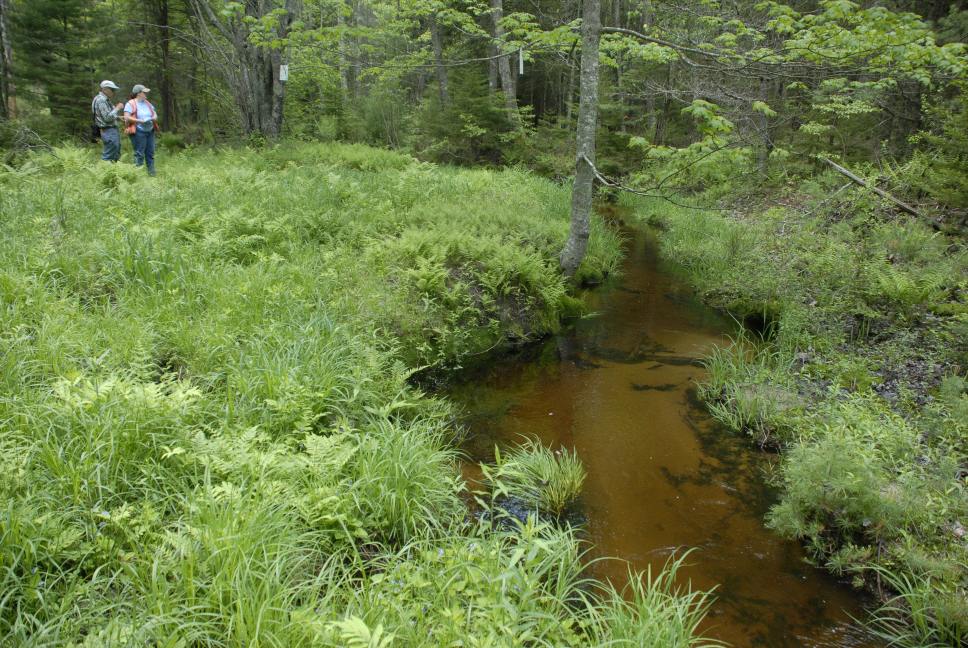
The following two photos are from an area of ponded water. Photos taken on June 6th, 2007. It appeared that the old gravel road had dammed the drainage-way. A 6 inch diameter culvert was maintaining the pool level. The second photo shows spotted salamander (Ambystoma maculatum) egg masses that were observed. Is this pool natural? Significant? 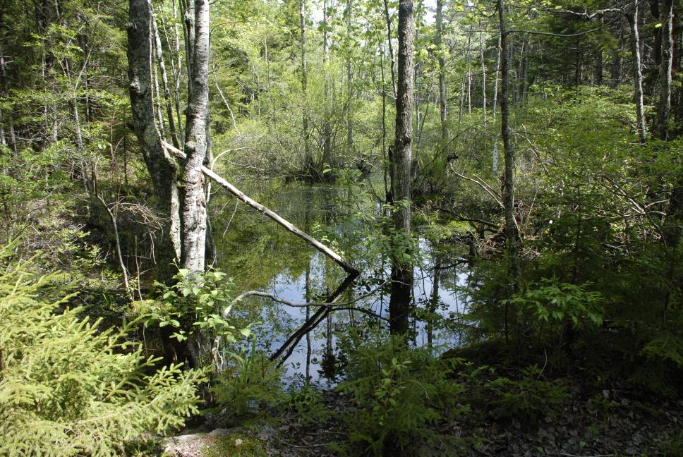
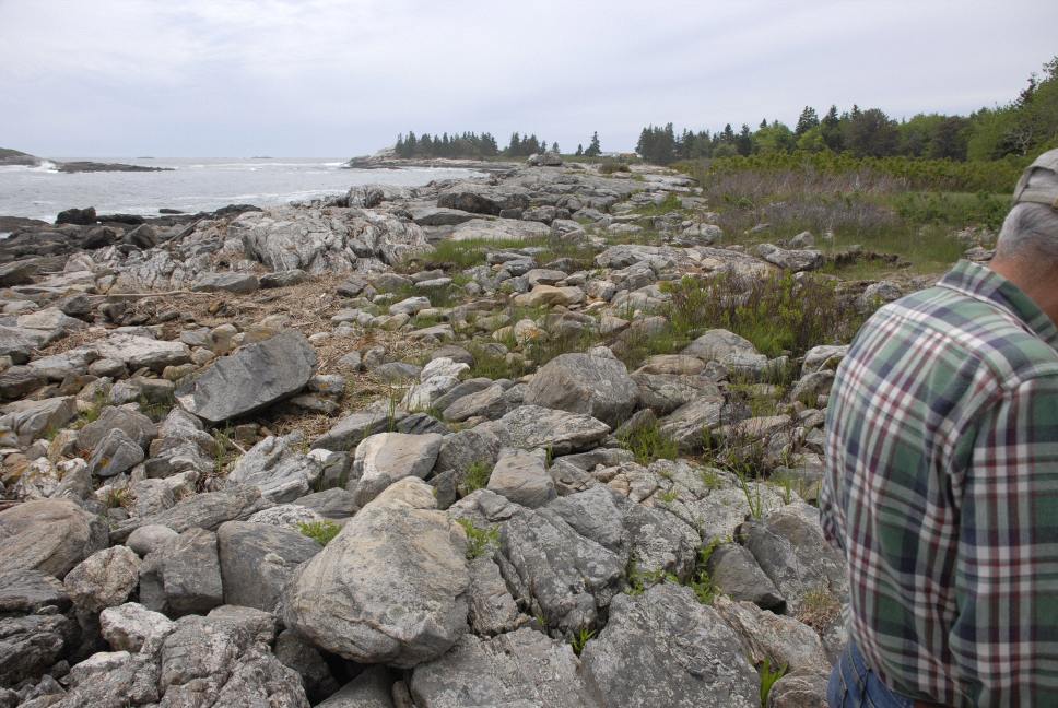
The next two photos are from the beach area near the Pavilion, looking north and then south. Where is the normal high water mark? Where do you start measuring for the shoreland zone? For septic system setbacks? 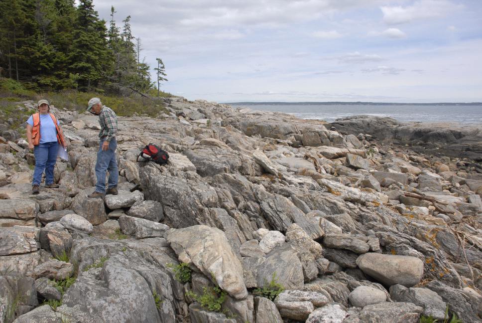
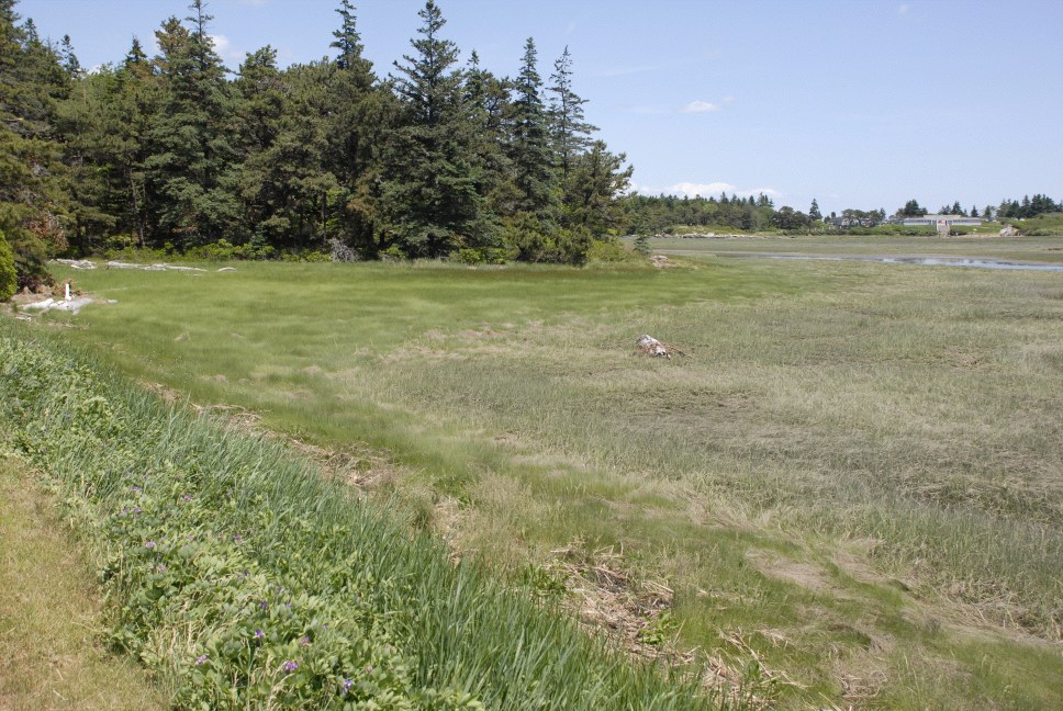
The next set of three photos is from the freshwater/coastal wetland area. The first photo shows typical salt marsh (coastal wetland) vegetation, with the clear break between
low marsh (Spartina alterniflora and high marsh (S. patens). Low marsh is flooded twice daily, while the high marsh is flooded during spring tides.
The second photo now shows the transition zone from freshwater emergent vegetation to brackish/saline taxa. We observed Rynchospora alba, Cladium mariscoided, Aster nemoralis, Drosera, Typha latifolia, Vaccinium macrocarpon, Spahgna ssp., and other freshwater bog taxa. Seaward of where the group is standing was an irregular transition to Typha angustifolia and an absence of the freshwater bog taxa. 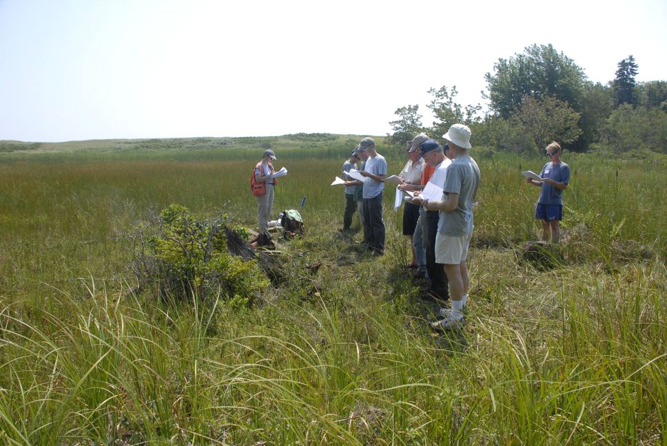
Note the dominance of Typha angustifolia, a salt tolerant species. 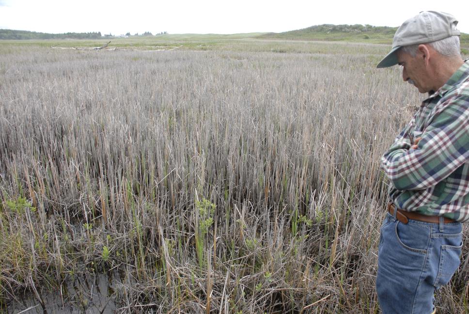
The discussion component of the field workshop, held in the pavilion at Reid State Park. Approximately 140 soil scientists, wetland scientists, regulators, code enforcement officers, town planners, site evaluators, and others participated in this workshop. 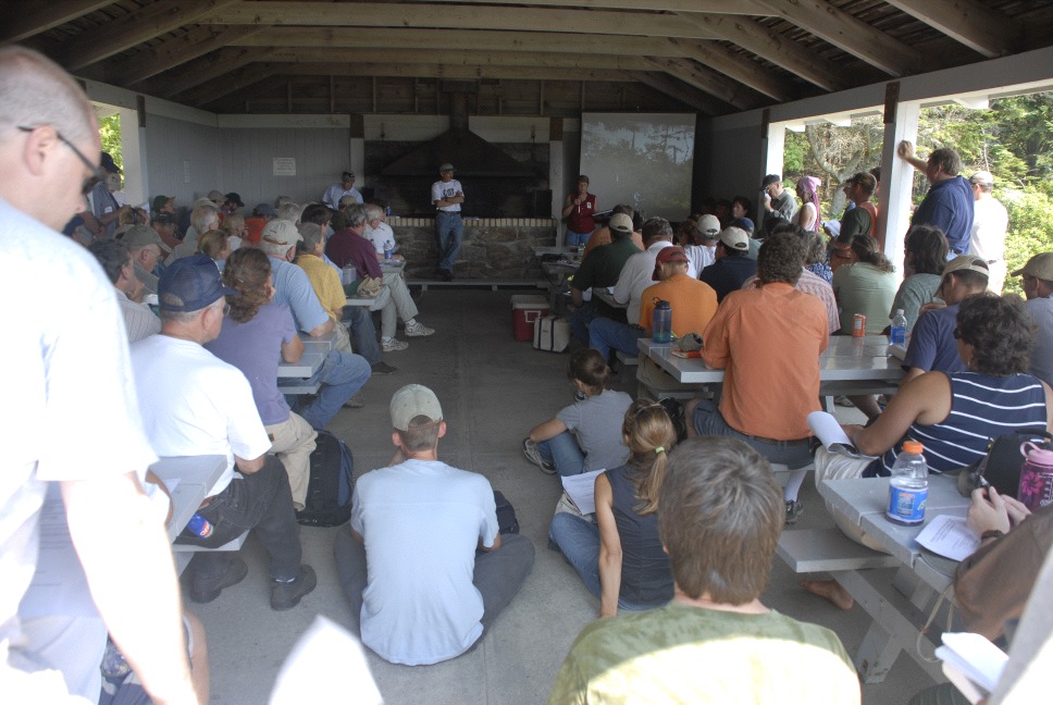
Special thanks to Dave Rocque, State Soil Scientists, for the organization of this workshop, in addition to the other MAPSS, MASE, State, and Federal regulators. If any members have more photos or discussion to add, please E-mail below.
|